To the summit and back, detailed trail guides, offline GPS, real-time safety alerts.
Launching first in Seoul · Bukhansan, Gwanaksan, Dobongsan, and more.
More than a forecast: rain timing, the daylight cutoff, slippery-granite warnings, and when to turn back. Plus one-tap location sharing, all in English.
Powered by Korea's public safety data: KMA mountain forecasts, plus Korea Forest Service wildfire and landslide alerts.
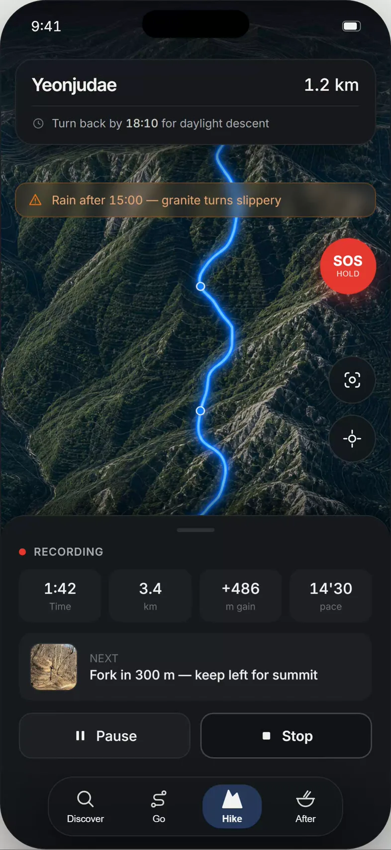
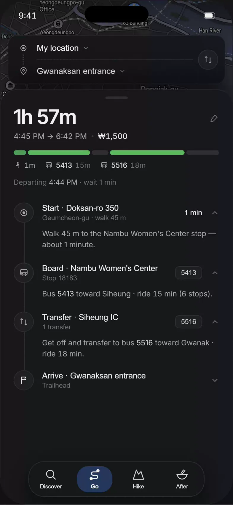
Subway and bus directions straight to the trailhead, then offline GPS on the mountain. No more guessing which exit, which bus, or where the path begins.

On the trail or at the table, point your camera and read it in English.
Free, English-first guides to hiking and traveling in Korea — trailheads, transport, fees, and what to know before you go.